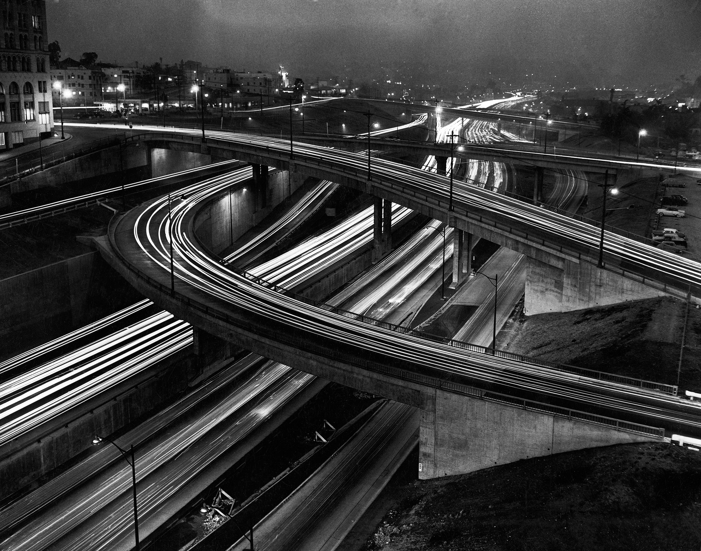
If you have ever wondered why Interstate numbers seem to follow a pattern, there is a good reason. The system was not numbered randomly. Federal and state highway officials borrowed the basic structure of the older U.S. numbered highway system and reversed its geographic arrangement.
The result was a nationwide road system that could be identified through numbers instead of relying on lengthy lists of road names. The Federal Highway Administration offers a simple example. U.S. 1 follows the East Coast, while I-5 runs along the West Coast. U.S. 10 crosses the northern part of the country, while I-10 spans the South. This distinctive mirrored numbering system was deliberately designed decades ago.
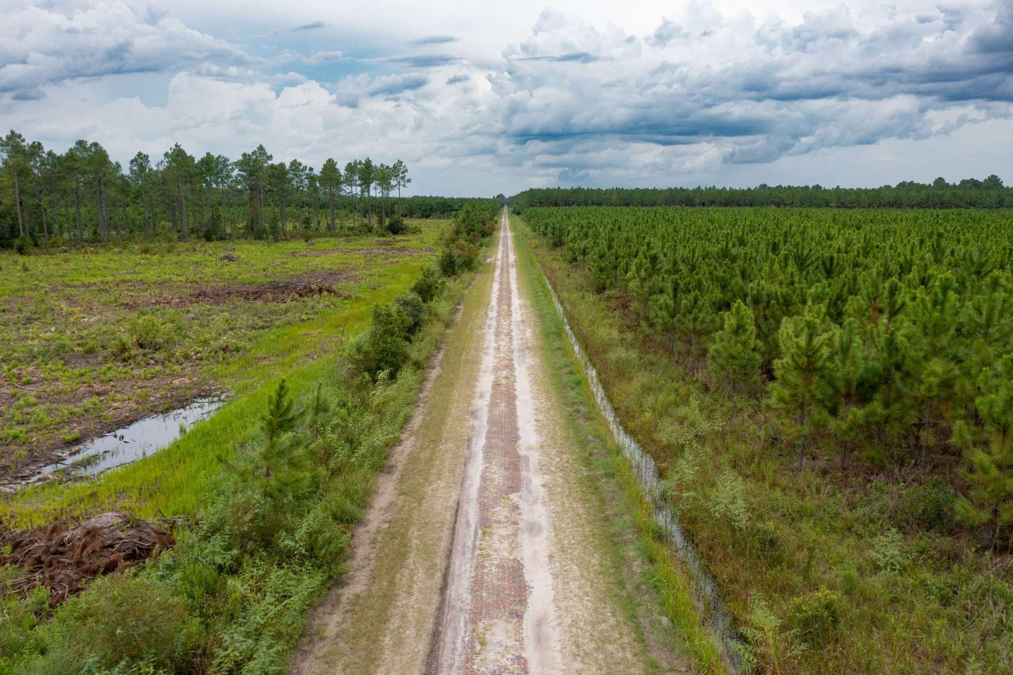
The Older Highway System Came First
Long before America adopted the familiar red, white, and blue Interstate shields, the country had already established a national system for numbering major highways.
During the 1920s, highway officials recognised that drivers needed a straightforward way to travel across state lines without relying on local road names or unfamiliar routes. Earlier, many major roads carried names rather than numbers.
Routes such as the Lincoln Highway, Dixie Highway, and National Old Trails Road were well known, but their names did not provide a consistent system for motorists travelling across several states. A nationwide network needed a clearer method that drivers could understand more easily.
In 1925, the Joint Board on Interstate Highways introduced a plan for numbering major routes. The system followed a simple pattern that made it easier to identify a road’s general direction.
North-to-south highways were assigned odd numbers, while roads running east to west received even numbers. Major north-to-south routes were concentrated toward the eastern part of the country, with important highways carrying numbers ending in 1 or 5.
Major east-to-west routes generally used numbers ending in zero, while lower numbers were assigned farther north. For many motorists, numbered routes offered a guide instead of memorising dozens of road names.
This arrangement gave drivers a broad road grid that could be understood from highway numbers alone. Records from the Federal Highway Administration show that this earlier numbering method later helped provide the foundation for the Interstate highway system used across America today.
Why Interstate Numbers Look Backward
When officials created Interstate numbers in the 1950s, they did not simply copy the U.S. route numbers. They deliberately used the same basic pattern in reverse. That decision explains one of the strangest details on an American highway map.
For north-south routes, the U.S. system placed the lowest numbers in the East. Interstate planners placed the lowest numbers in the West instead. That is why U.S. 1 follows the East Coast while I-5 runs along the West Coast.
The same idea applies to east-west routes. U.S. 10 is a northern route, while I-10 runs across the southern portion of the country. I-90 sits farther north. FHWA says the Interstate numbering plan was approved in September 1957 after officials from the Bureau of Public Roads and AASHO adapted the older U.S. plan.
The arrangement was meant to make the new system familiar while still keeping Interstate routes distinct from U.S. highways. It was a clever way to build a fresh network without throwing away the logic Americans already knew.
A Simple Pattern Runs Across America
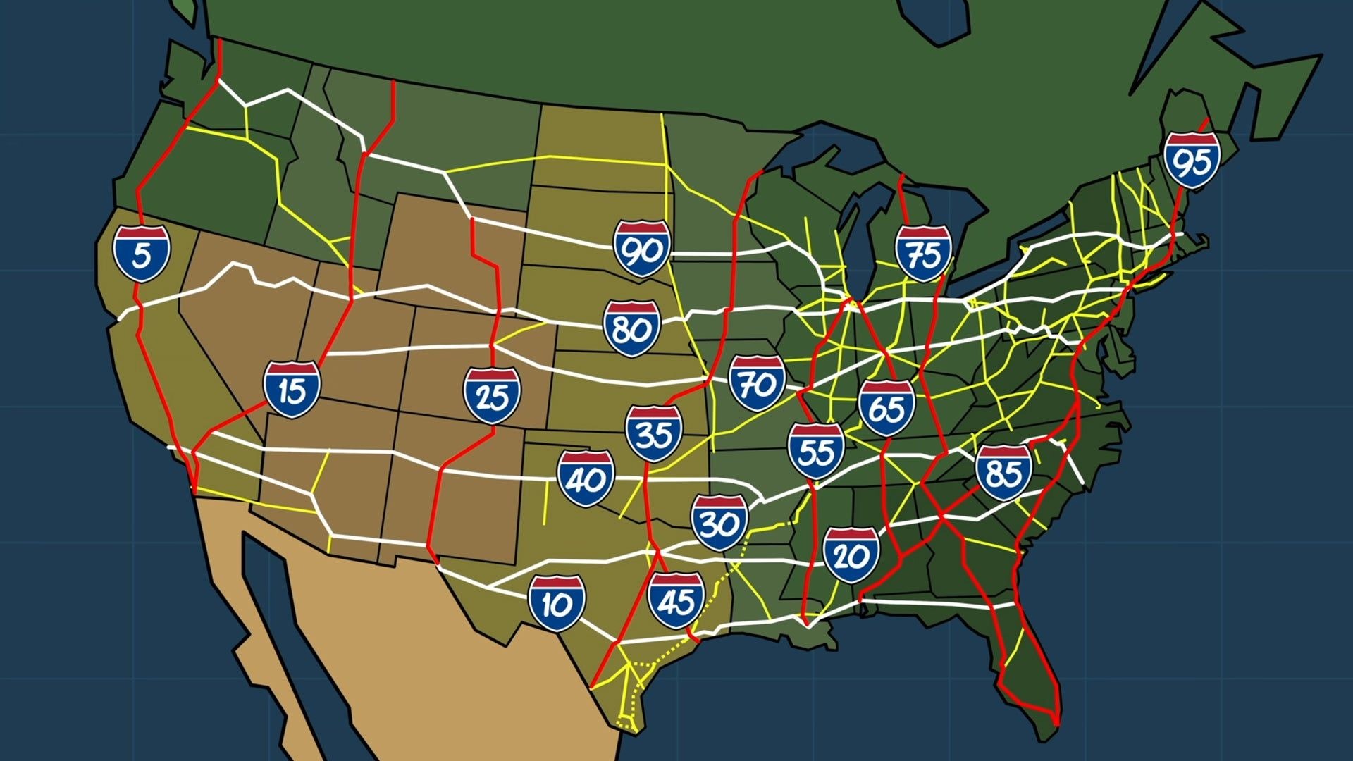
Look at an Interstate map with the numbering rules in mind, and many routes become easier to identify. Major north-south Interstates use odd numbers, while major east-west Interstates use even numbers.
The main north-south routes generally increase as they move from west to east. I-5 is near the Pacific Coast, while I-95 is near the Atlantic Coast. East-west routes generally increase as they move from south to north, beginning with I-10 and reaching I-90 in the northern part of the country.
This pattern does not mean every road follows a perfectly straight line. Mountains, cities, rivers, existing roads, state boundaries, and other practical concerns affected where highways were built.
The numbering system describes the route’s place within the larger grid rather than promising a perfectly straight trip. Three-digit numbers add another layer.
FHWA explains that urban loops and spurs received three-digit numbers after the main numbering plan was established. A three-digit route normally relates to a parent Interstate, allowing motorists to connect the smaller route with the larger highway.
The 1956 Law Made the Network Real
Creating a numbering system was one thing; building thousands of miles of controlled access highways was another. The Interstate program gained its major push through the Federal Aid Highway Act of 1956, signed by President Dwight D. Eisenhower.
The idea had much older roots. FHWA traces the concept to studies from the late 1930s, while federal officials and state highway departments continued working on routes during the 1940s and early 1950s.
In 1947, officials designated an initial Interstate network covering about 37,681 miles, but those routes had no official Interstate numbers at that stage. The 1956 law provided the funding structure needed to begin large-scale construction.
Federal funding covered 90 percent of eligible Interstate construction costs, with states providing the remaining 10 percent. Once construction accelerated, the numbered grid gave drivers a consistent system for identifying major routes across state lines.
The highway network was therefore more than a collection of new roads. It was a coordinated national system built around established numbering principles.
A Highway Map Designed to Make Sense
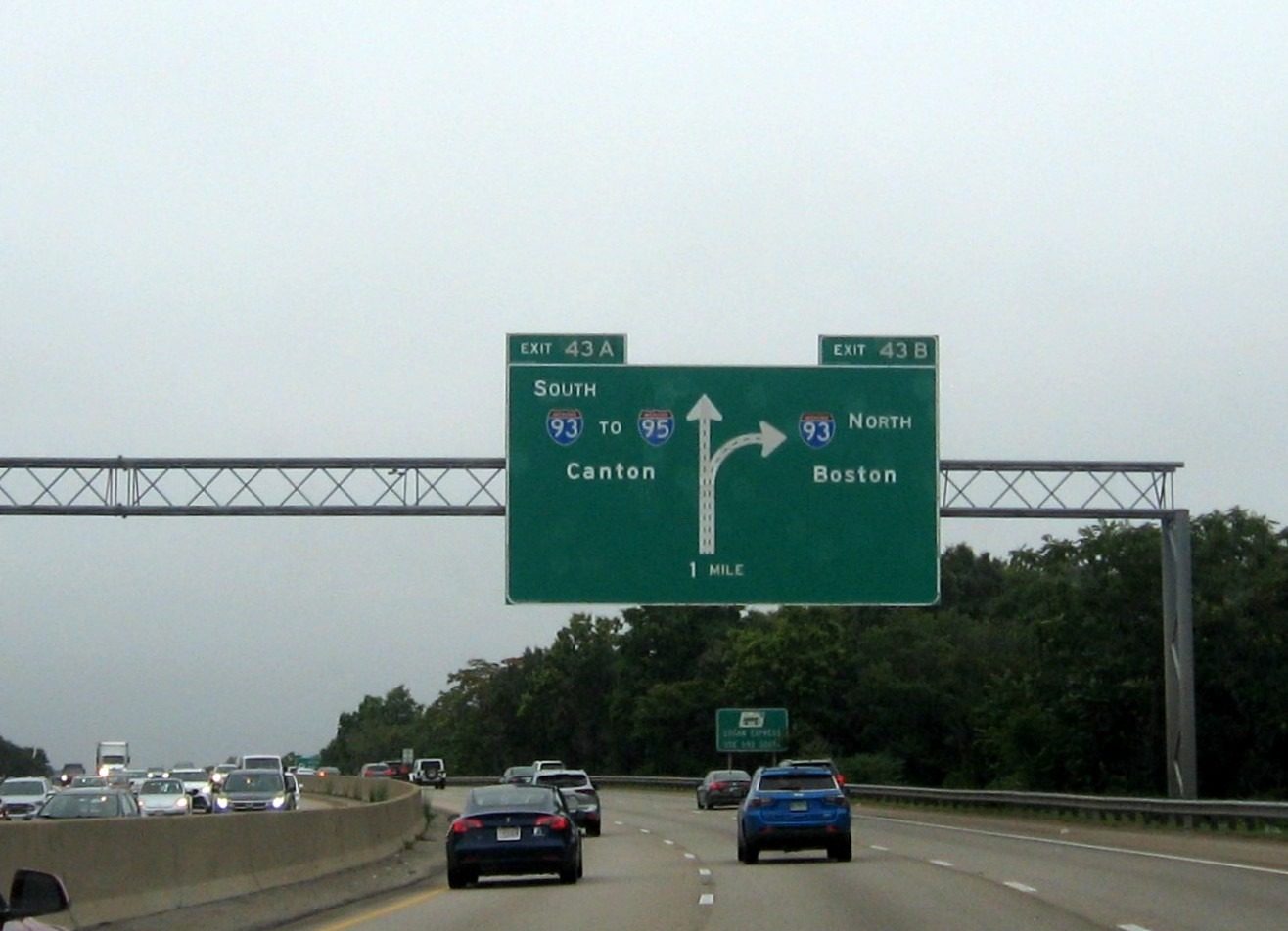
There is something satisfying about a road system that can be read almost like a map legend. The Interstate grid gives drivers clues before they even know the exact route. An odd number suggests a north-south highway.
An even number points toward an east-west route. A lower odd number generally means a location farther west, while a lower even number generally indicates a route farther south. The design was based on the earlier U.S. highway system, yet the geographic order was reversed so the two networks would not be confused.
FHWA specifically identifies this mirror approach as the model for Interstate numbering. That planning choice still affects how Americans understand road maps today.
A driver seeing I-5, I-10, I-80, or I-95 can make a quick judgment about the highway’s general direction and location. The system also left room for additional routes as transportation needs changed.
While actual road paths can bend, split, or follow older corridors, the numbering framework remains remarkably easy to read. What began as a practical solution for a growing highway network became one of the most recognizable parts of American transportation.