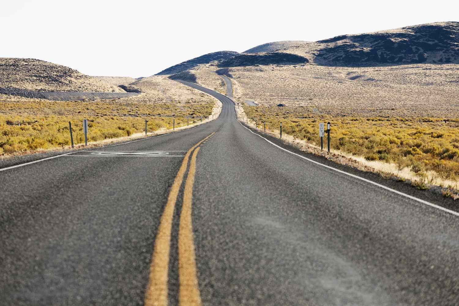
Running low on fuel is the quiet fear behind every long road trip, and in a few corners of America it is a very real risk. From the frozen tundra of northern Alaska to the empty basins of Nevada and Utah, there are roads where the pumps vanish for a hundred miles or more, leaving nothing but mountains, sagebrush, and the occasional sign telling you to fill up while you still can.
A quick note on the list: nobody keeps an official ranking, and remote stations open and close all the time. Only six gaps are well enough documented to rank with confidence, so rather than pad the list to ten, this article sticks to those six, ordered from longest to shortest. Treat every mileage as approximate, and always confirm current fuel availability before you go.
1. Dalton Highway, Alaska: 239 miles (Coldfoot to Deadhorse)
The champion is not close. On Alaska’s Dalton Highway, 239 miles separate the pumps at Coldfoot from those at Deadhorse, and a roadside sign near Coldfoot rounds the warning up to 240 miles until the next service. It is the longest widely documented gap between gas stations on a public highway in the United States.
The road was built to support the Trans-Alaska Pipeline and runs roughly 414 miles from Livengood to Deadhorse, close to the Arctic Ocean. Along the way, it crosses the Yukon River, passes north of the Arctic Circle, and climbs over the Brooks Range. Atigun Pass, the highest highway pass in Alaska, sits at Mile 244, roughly 69 miles north of Coldfoot. The public road ends at Deadhorse, with the Beaufort Sea still several miles beyond.
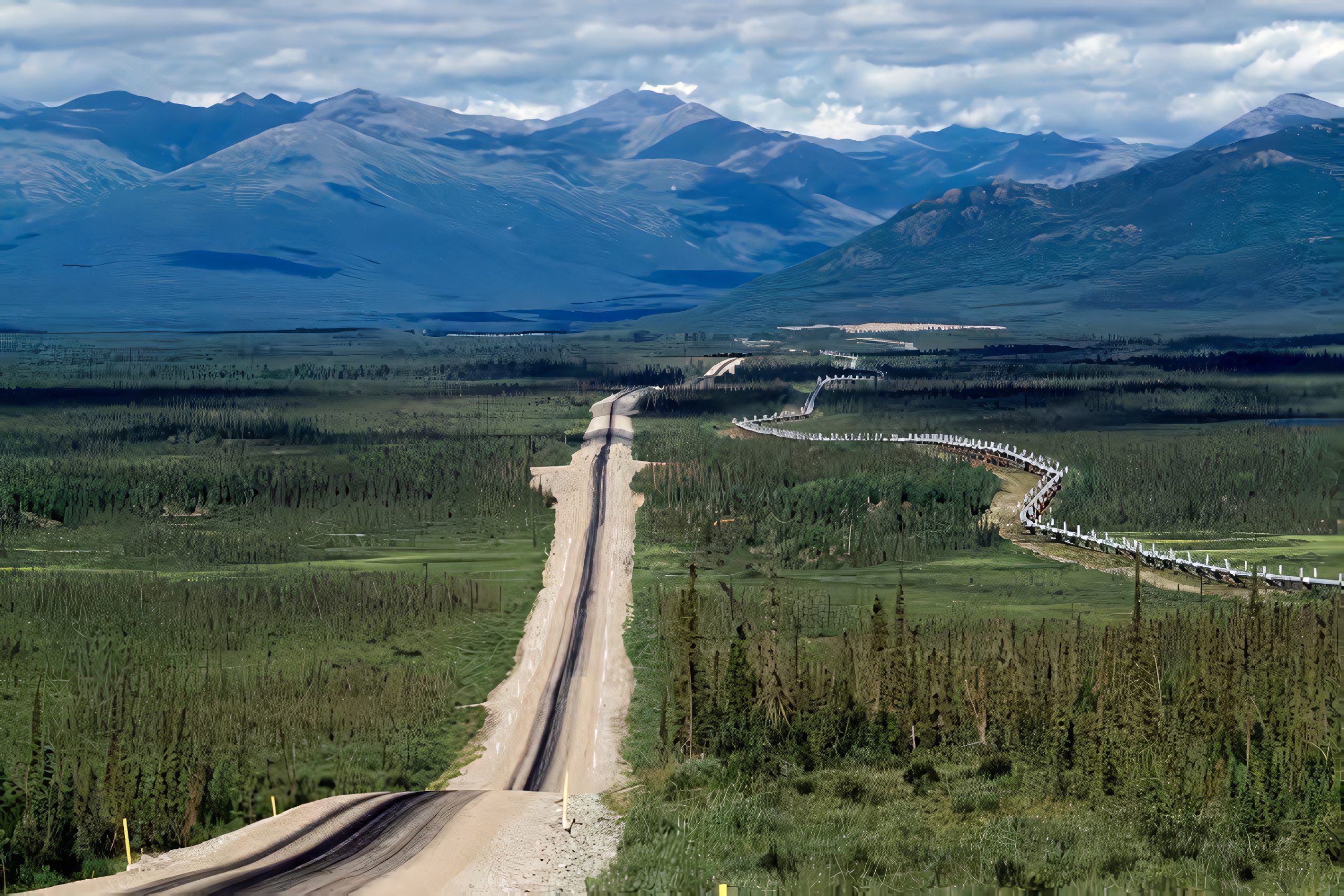
Fairbanks to Deadhorse is around 500 miles by road, and the Bureau of Land Management estimates at least 13 hours of driving in good conditions. That is a long day on a route with gravel sections, heavy truck traffic, and weather that can change fast.
The practical lesson is simple: top off in Coldfoot, carry spare fuel in approved containers, and bring a spare tire. There is no restaurant, hotel, or tow service waiting around the next bend. Out here, running dry can mean waiting hours for a passing driver, and in the Arctic that is a risk worth planning around well before you leave town.
2. US 6, Nevada: 168 miles (Tonopah to Ely)
Nevada’s US 6 holds the title for the longest signed distance between gas stations, at 168 miles between Tonopah and Ely. Many travelers point to a Shell in Tonopah and a Love’s in Ely as the stations on either end. In between, there are no services of any kind.
The empty feeling is no accident. US 6 covers 306 miles across Nevada and passes through only two cities, Tonopah and Ely, which together have a population of just over 6,500. About 15 miles southeast of Tonopah, the Nevada Test and Training Range begins, a huge military area that keeps the surrounding country almost entirely unpopulated.
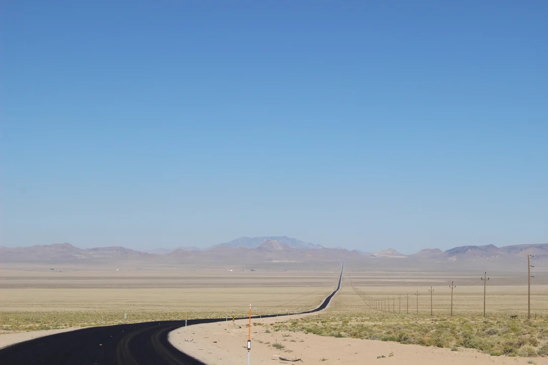
US 50 across the state wears the famous nickname “The Loneliest Road in America,” but US 6 makes a strong case for itself. Traffic is light, the landscape is stark, and there was once a lone station along the route that has since gone out of service, which stretched the gap to its current length.
Drivers heading east or west should treat Tonopah and Ely as mandatory fuel stops. A full tank is usually enough for a modern car, but it leaves less margin than people expect once you add a headwind, a climb over a mountain pass, or a detour to a ghost town. Cell service can drop out as well, so download offline maps and carry water. If you break down here, help may be an hour or more away.
3. Denali Highway, Alaska: about 135 miles (Paxson to Cantwell)
Alaska’s Denali Highway, Route 8, runs about 134 to 135 miles between Paxson on the Richardson Highway and Cantwell on the Parks Highway. The Bureau of Land Management says gas is available at Cantwell and that there is none at Paxson, which makes the whole length effectively a fuel desert if you start from the east.
Only the first 21 miles from Paxson and the first 3 miles from Cantwell are paved. The remaining 110 miles are gravel, and the recommended maximum speed is 35 mph. The road is unmaintained in winter and generally open from mid-May to about October 1.
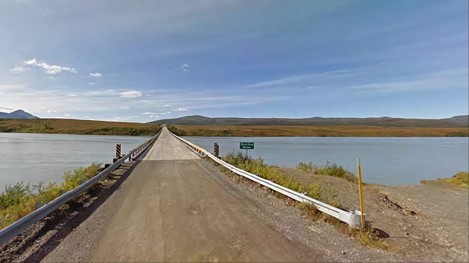
Several lodges sit along the route, including Maclaren River Lodge around Mile 42, but fuel at remote lodges can be unreliable, and local travelers warn that the lodge at Paxson has been hit and miss for fuel over the years.
The scenery is the payoff. The highway crosses Maclaren Summit, at about 4,086 feet, the second-highest pass on the Alaska highway system, with views of the Alaska Range, glaciers, and wildlife.
One traveler’s advice is to rely on fuel only at Cantwell and at Delta Junction, which lies about 81 miles from the east end of the road. That means a driver who cannot count on fuel at Paxson may face well over 200 miles between sure things. Fill up before you commit, carry extra gas, and plan on slow, dusty progress rather than fast miles.
4. US 50, Nevada: about 110 miles (Fallon to Austin)
US 50 is the road that earned the “Loneliest Road in America” label. Between Fallon, Nevada and Delta, Utah, a span of 409 miles, there are just three small towns: Austin, Eureka, and Ely. The longest hop between them starts in Fallon, because Austin lies about 110 miles to the east.
Guides consistently warn drivers to arrive in Fallon with a full tank. After Austin, the hops get shorter, with Eureka roughly 70 miles beyond and Ely roughly 80 miles past that, so the stretch out of Fallon is the one that deserves the most respect.
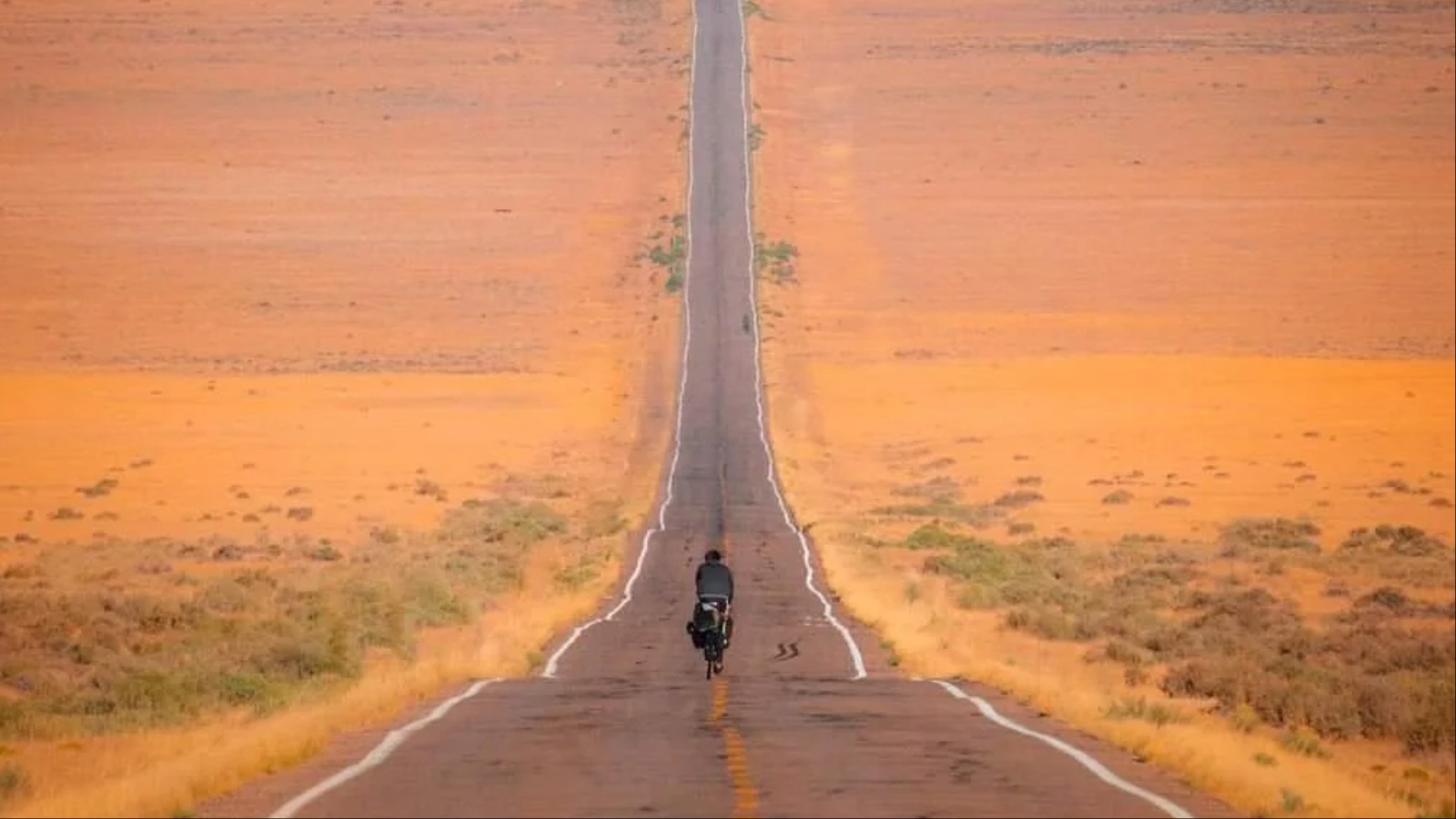
A word of caution on this entry: some travelers mention a roadhouse partway along the Fallon-to-Austin section that may sell fuel, and sources disagree on whether it counts. Because hours and stock change, it is safest to treat 110 miles as the working gap and to be pleasantly surprised if you find a pump sooner.
Stations in Austin and Eureka are small, and they may close early in the evening, so do not plan to arrive on fumes after dark. This is also high-desert driving, with long straight sections, mountain passes above 7,000 feet, and very little cell coverage, so fatigue is as real a risk as fuel.
The upside is that the road is well paved and full of character: old Pony Express history, the Eureka Opera House, and the Nevada Northern Railway at Ely. Just fill up in Fallon first, and again at every town after it.
5. Interstate 70, Utah: about 105 miles (Green River to Salina)
Interstate 70 in eastern Utah is the longest stretch of the US Interstate Highway System without motorist services. Between Green River in the east and Salina in the west, travelers report roughly 104 to 110 miles with no gas stations, no restaurants, and no restrooms, and only six exits that lead to no towns.
The landscape through the San Rafael Swell is breathtaking, with red rock walls, canyons, and long vistas that make this one of the most photogenic drives in the country. But the beauty comes with a catch. Because this is an interstate, drivers tend to assume services will appear regularly, and that assumption has caught plenty of people off guard.
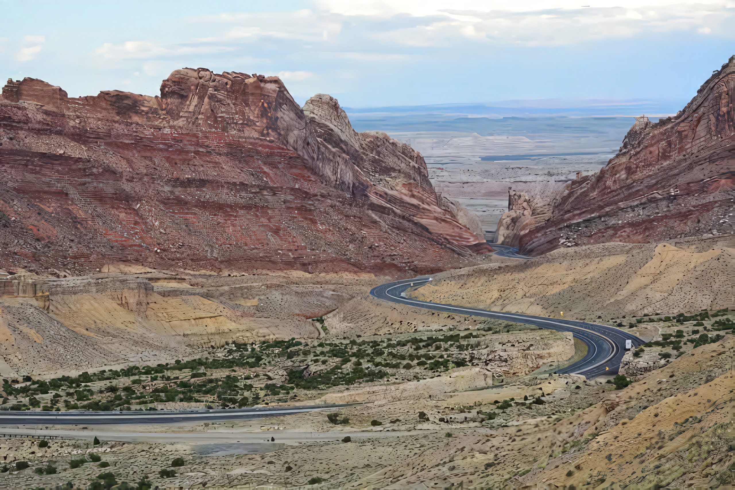
One traveler towing a trailer in high winds nearly ran out of fuel here. They left the interstate to look for gas in Emery, about 15 miles away, only to find the town’s single station closed. Signs along the highway do warn about the gap, so heed them.
For most vehicles, 105 miles is manageable on a full tank, but towing, headwinds, and mountain grades can sharply cut your range. Electric vehicle drivers should plan charging carefully, since the gap affects them too.
The easiest fix is to fuel up in Green River or Salina every time you pass through, regardless of how full the tank looks. It costs a few minutes and removes the worry entirely, leaving you free to enjoy the scenery.
6. US 95, Nevada: about 93 miles (Beatty to Tonopah)
Our last entry comes with an asterisk, because it is an unsigned gap rather than an officially posted one. On US 95 in southern Nevada, the distance between Beatty and Tonopah is about 93 miles with no gas. Highway enthusiasts note that if the station in Goldfield is open, the longest stretch drops to roughly 66 miles between Beatty and Goldfield.
That uncertainty is the point. Small-town stations in Nevada’s mining country change hands, close, and reopen, so the real gap depends on the day you drive. Plan for the longer figure and treat Goldfield as a bonus.
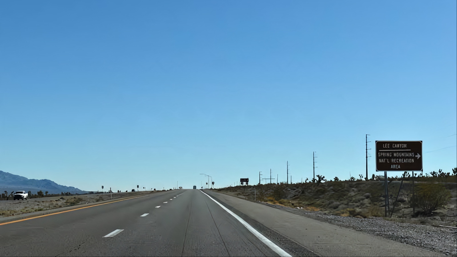
Beatty is a popular gateway to Death Valley, which means plenty of visitors pass through with a camera and an empty tank after a long day in the heat. Tonopah, meanwhile, is a historic mining town and an important fuel stop on routes across central Nevada, including the empty US 6 route described earlier in this list.
Between them is classic Nevada: broad valleys, distant ranges, and very light traffic. Cell coverage can be spotty, and summer temperatures make a breakdown more dangerous than the mileage suggests, so carry extra water, a charged phone, and a plan.
This stretch is the shortest on our list, but it shows how gaps can sneak up on you. Not every long gap is advertised with a sign, and the unsigned ones are often the most surprising.